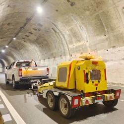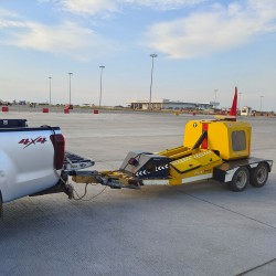
Network Survey Vehicle (NSV) Survey (2D & 3D)
Description
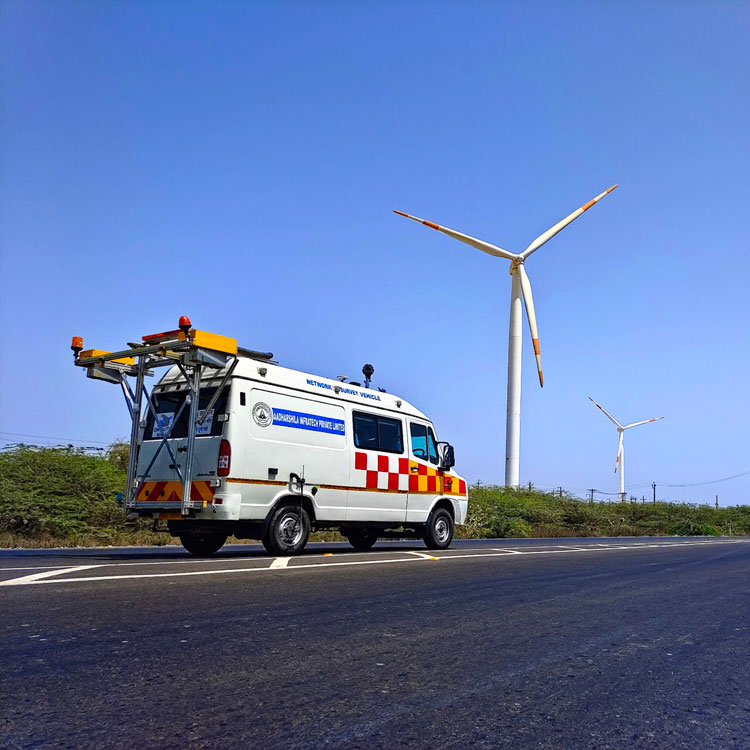
NSV is used for Road Condition and Inventory survey, the collection of data helps to determine the structural integrity, pavement distresses and overall riding quality of the pavement. Inventory Survey is the process of collecting data to manage the asset on the road. NSV is equipped with ROMDAS system which includes LCMS (Laser Crack Measurement System), HRDMI (High Resolution Distance Measurement Instrument), ROMDAS 360o Camera, Trimble ProXRT and SPS DGPS Receivers.
Features
- LCMS utilises laser scanning technology to collect high accuracy 3D profiles of the road surface to collect Roughness & Rutting data and also other pavement defects.
- It can be operated at highway speeds from 0 to 80km/hour during day light and night.
- Ability to record images at user-defined intervals (e.g., every 5m in this survey).
- Collects data with field respective Chainage and capable of achieving distance accuracy of 0.1%.
- GPS co-ordinates by logging the latitude, longitude and altitude of the object/ specific image.
- ROMDAS 360o/ROW Camera do collect the data with GPS co-ordinates and chainage reference.
- Collects real time digital images stored as compressed AVI files & JPEG.
$0.00
Ex Tax: $0.00

